-40%
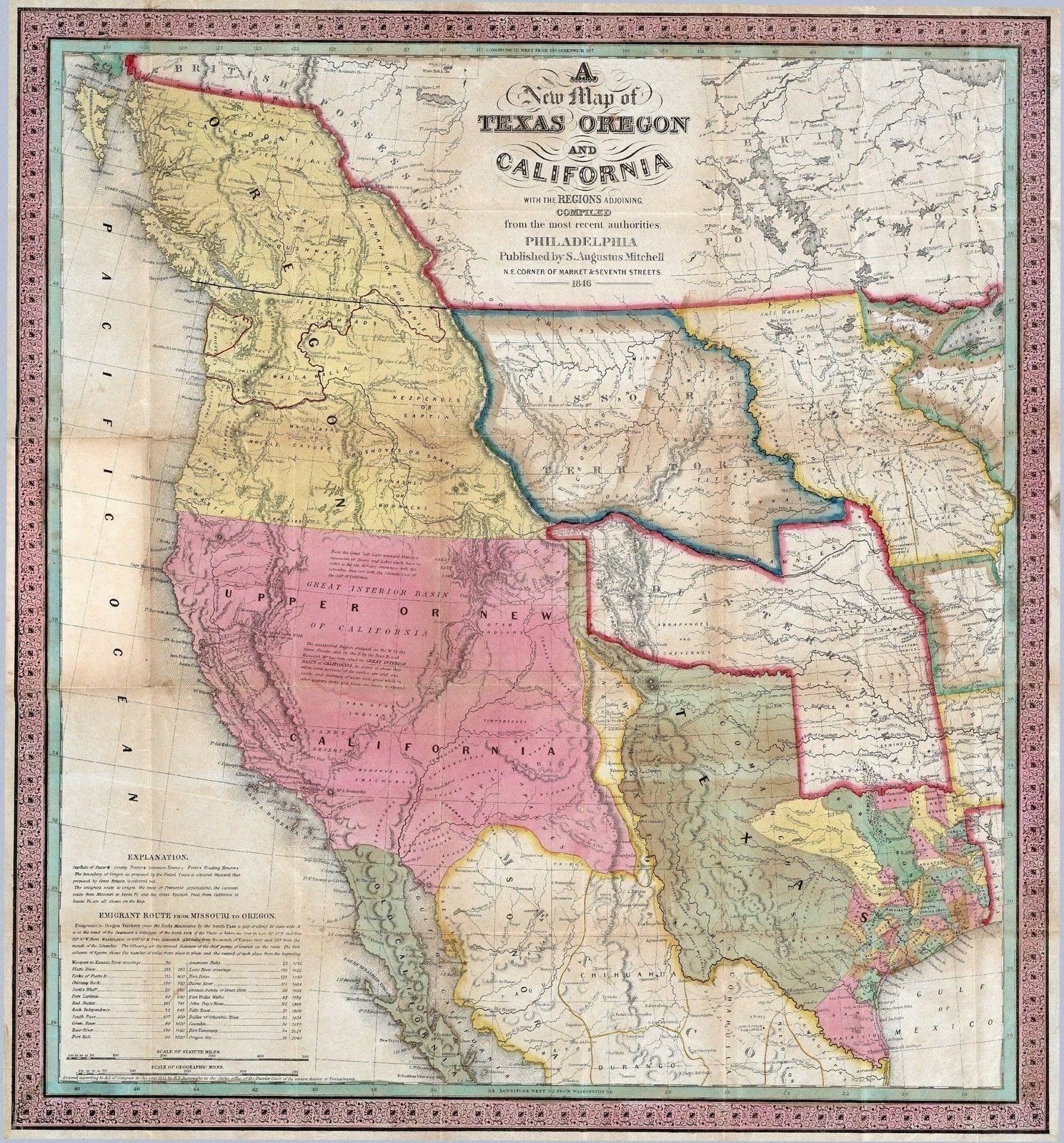
1846 TEXAS REPUBLIC era old MAP atlas poster early history state MEXICAN US WAR
$ 8.44
- Description
- Size Guide
Description
xThis Auction is for an
Unframed
REPRINT
of an Antique Map as detailed below.
This map is printed on specially coated, matte finish, paper
for sharper print quality and colors that are vivid.
This is a graphic representation of what the print might look like framed.
This listing is for an UNFRAMED print.
These Maps are created from
VERY high resolution uncompressed TIFF files
and are much sharper that the image shown here.
Original Map Details
1846 Map Of Texas Republic during Mexican U.S. War.
Approximate Image Size
16.5 X 17.8 inches
Atlas taken from
A New Map of Texas Oregon and California With The Regions Adjoining. Compiled from the most recent authorities. Philadelphia Published by S. Augustus Mitchell N.E. Corner Of Market & Seventh Streets. 1846. Entered ... 1845 by H.N. Burroughs ... Pennsylvania.
WE HAVE MANY HISTORIC REPRINT MAPS AND OTHER ITEMS ON MANY DIFFERENT SUBJECTS
Please check out store for additonal products

